What is GIS?
A Geographic Information System (GIS) allows for the visualization, interpretation and organization of geographic data. This makes GIS an invaluable tool for understanding relationships and patterns between different kinds of data that would not be readily apparent otherwise. The GIS division at the City of Golden provides quality mapping products that enable staff in all city departments to make informed decisions that benefit our community.
Responsibilities
- Maintain data on critical assets including fire hydrants, street signs, storm drains and other Public Works infrastructure.
- Collect and update data on trails, parks and open space.
- Provide mapping resources related to zoning areas and historic districts.
- Create web apps to provide better access to data for both staff and the public.
Resources:
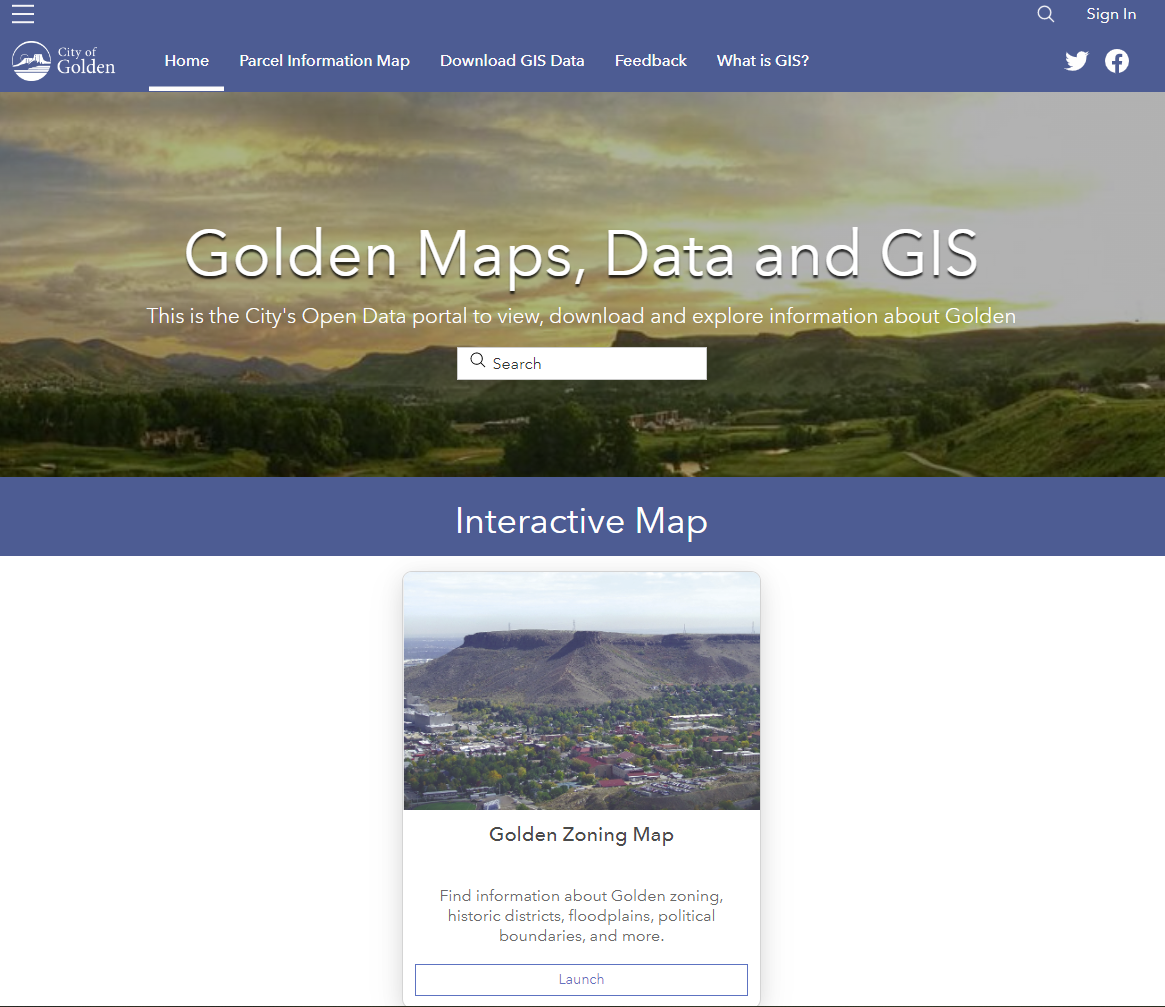
Golden Maps, Data and GIS
Golden’s open data portal where you can view, download and explore information about Golden
Colorado GeoData Cache
Download elevation data including LiDAR, Contours, and DEM
jMAP
Jefferson County Online Map
Jefferson County Address Wizard
Find any address with Jefferson County
DRCOG Open Data Site
Denver Regional Council of Governments open data
Colorado Data Catalog
State of Colorado open data site

